Officials in Italy used a combination of flying drones and AI software to locate the remains of a man who vanished in September
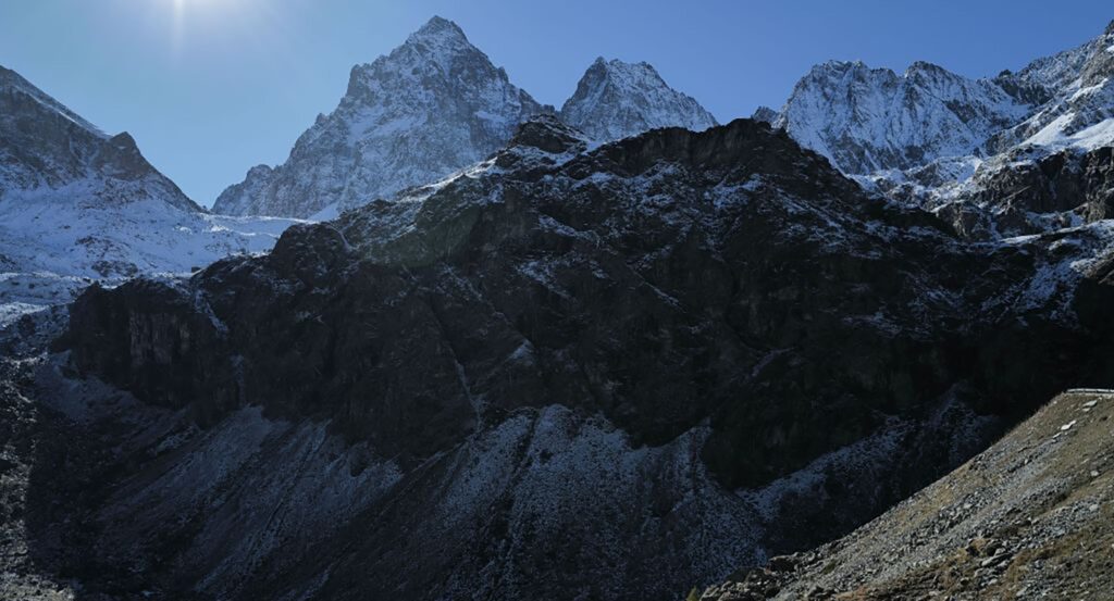
Monviso mountain towers above Turin (Photo: Vittorio Zunino Celotto / Getty Images)
Published August 8, 2025 01:51PM
Back in September 2024, a 64-year-old climber went missing in Italy’s Cottian Alps.
In late July, rescuers finally found his body, using a combination of flying drones and an advanced artificial intelligence software program, according to WIRED Italia.
Nicola Ivaldo, a doctor from Liguria, disappeared on the north face of 12,602-foot Monviso on September 14. Colleagues reported him missing when he failed to show up at work two days later, and search efforts began on September 17.
Ivaldo was an experienced mountaineer, but he was climbing alone. Monviso, which sits near the French border roughly 40 miles southwest of Turin, is a rugged, technical peak.
He also had not told his friends or family his intended route. However, before his disappearance, Ivaldo’s cell phone had connected to a cell tower north of the mountain, so rescuers believed he was attempting to climb Monviso from the north, likely via the peak’s northwest ridge.
Over the next several days, drones, sniffer dogs, and helicopters began poring across the northern and western slopes of Monviso, scouring a search area of 452 acres. But the rugged, dangerous terrain, coupled with bouts of foul weather and poor visibility—wind, rain, fog, and snow—stymied search and rescue efforts. By October, early winter snows had fallen on the mountain, covering any sign of the missing climber’s body. The search for Nicola Ivaldo was called off on October 9.
For nearly a year, the missing doctor’s fate was uncertain. But in late July, two drones, piloted by Italy’s National Alpine and Speleological Rescue Corps (CNSAS) took up the search again.
On the afternoon of July 29, the pair of drones flew over Monviso. During a span of just five hours, they documented almost every inch of the 452-acre search area, taking roughly 2,600 high-definition photographs from 165 feet above the ground. Later that day, these photographs were fed through an artificial intelligence built to recognize variances in color and shape. This software was directed to analyze the photos with specific focus on any irregularities in the landscape.
The AI program analyzed all 2,600 images the same day. What would have taken weeks or months, scanning hundreds of photos with human eyes, took a few hours. The software flagged a series of suspicious spots, including a smattering of bright red pixels that rescuers thought might be Ivaldo’s helmet.
They were right.
Less than three days after the initial drone flights, a recovery helicopter found Ivaldo’s body at approximately 10,335 feet, face down in a couloir high on the north face of Monviso.
One of the two drone pilots, Saverio Isola, told Wired Italia that the miraculous recovery was “a human achievement, but without technology, it would have been an impossible mission.”
Isola explained that Italian rescue crews have been using drones in a similar capacity for roughly five years. “In the recovery operations following the Marmolada glacier tragedy, it allowed us to operate in inaccessible areas and recover all the necessary artifacts,” Isola said. “It prevented the rescuers from risking their lives.” However, artificial intelligence analysis technologies like the kind used in this operation have only been in use for the last eighteen months. These tools were developed by the CNSAS, in coordination with Italy’s civil aviation agency.
Rescue teams across the United States commonly use aerial drones to spot missing hikers, and to scour hundreds of acres of terrain when a helicopter is not readily available. In 2021, a drone equipped with thermal imaging spotted a missing hiker outside of Santa Barbara.
In 2023, a stranded motorist tied his phone to a drone so he could send an SOS message to rescuers.
But using drones in conjunction with artificial intelligence software to scout photographs is not as common.
The CNSAS hopes that in the future, rapid implementation of artificial intelligence analysis could save missing hikers and climbers before it’s too late. In search and rescue missions for living hikers, color and shape recognition software could be combined with thermal imagery analysis. “AI is also able to interpret thermal data, and provide valuable information in just a few hours,” Isola said. While helicopters or ground rescuers are dispatched, the drones could also deliver lifesaving supplies, like food, water, or first aid kits.


